
Wildfire burn scars mapped by satellites
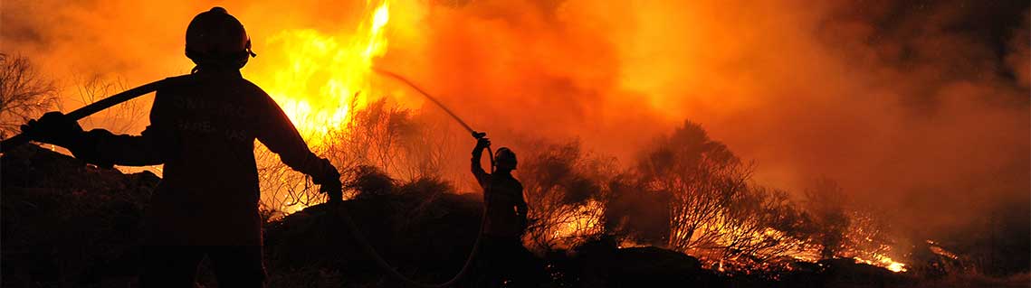
At the end of , some 540 active fires were in progress in British Columbia. More than 2000 wildfires have burned over 1.3 million hectares of land in the province this year onlyFootnote 1 – the second worst season in history after .
These fires cause major damage to our resources and infrastructure. In , the wildfires in Fort McMurray, Alberta, cost about $10 billion, the largest amount in Canadian history for a natural disaster. The carbon dioxide from the burning fires also has an impact on air pollution and the health of Canadians.
Following the Fort McMurray events and last year's record wildfire season in British Columbia, Vancouver's Hatfield Consultants began to develop the Rapid Burn Area Mapping (R-BAM) technology with support from the Canadian Space Agency's Earth Observation Applications Development Program.
Combining optical and radar data processing with machine learning analytics, R-BAM detects and maps wildfire burned areas and classifies the burn scars and the impact of the fire on vegetation. This accurate and timely information on forest damage complements conventional wildfire assessment techniques. It is being tested and used by several wildfire agencies like the BC Wildfire Service in support of response and recovery efforts.
Hatfield continues to test the integration of radar data, including RADARSAT-2. Radar is a powerful tool since it has the capability to view through clouds, haze and smoke, and is sensitive to the changes in the structural characteristics of forest ecosystems that occur due to wildfire.
View Hatfield Consultants' maps of the wildfire expansion in Shovel Lake west of Prince George, British Columbia ( to ).
Explore further
- Satellites in our everyday lives
- Taking action on climate change
- How satellites help you stay healthy
- Date modified: