
Taking action on climate change

The smoke from wildfires burning in British Columbia in the summer of seen by NASA's Terra satellite. (Credit: NASA)
Climate change is one of the greatest threats of our time, and we are already seeing the effects. Satellites are valuable tools we can use to increase our knowledge of climate processes and their impacts, and thus properly target our action plans and response activities.
Canada and 194 other countries reached a climate agreement at the Paris Climate Change Conference (COP21). During their discussions, they made use of data from Canadian satellites and space instruments.
Climate change is one of the greatest threats of our time, and we are already seeing the effects. Satellites are valuable tools we can use to better understand climate change and adapt to it. (Credits: Canadian Space Agency, NASA, European Space Agency)
Which satellites are used to observe climate change?
- RADARSAT Constellation Mission and RADARSAT-2: To facilitate marine surveillance, ecosystem monitoring, ice monitoring, disaster management, resource management and mapping in Canada and around the world.
- SCISAT: To provide measurements of chemicals that affect the ozone layer.
- MOPITT (on Terra): To gather long-term data on carbon monoxide concentrations.
- OSIRIS (on Odin): To measure concentrations of ozone, aerosols and nitrogen dioxide.
- CloudSat: To gather information on cloud cover for the purpose of drawing up three-dimensional profiles.
- SMAP: To expand our knowledge of water cycles and carbon through producing global maps of soil moisture and monitoring the seasonal freeze/thaw cycle.
- SMOS: To map sea surface salinity, monitor soil moisture on a global scale, better understand the water cycle, and map snow- and ice covered areas.
- SWOT (in development): To observe ocean surfaces and measure how lakes, rivers, reservoirs and oceans are changing over time.
Why use satellites to observe climate change?
Monitoring signs of climate change
Climate change has various consequences, including the following: floods, hurricanes, droughts, wildfires, melting of polar ice caps, rising sea levels. The full scope of these catastrophic events can be seen from space. The impact of climate change is felt twice as quickly in the Arctic than in southern Canada.
Satellite data are used to:
- better understand this global phenomenon
- propose more effective solutions

Credit: Canadian Space Agency
CloudSat
What does it do?
With its radar, CloudSat gathers information on cloud cover, including thickness and altitude (at the base and summit), as well as on the quantity of water and ice contained in the cloud cover.
What is it used for?
CloudSat data help us analyze clouds, key water cycle elements and solar energy reflectors. Because it is suspected that clouds have a greater impact on climate change than greenhouse gases and other factors, studying clouds allows us to better understand their impact on climate and weather.
OSIRIS on Odin
What does it do?
The OSIRIS instrument, on board the Odin satellite, measures and maps ozone, aerosols and nitrogen dioxide.
What is it used for?
OSIRIS data help scientists better understand the impact of human activities and natural phenomena on the environment and climate. They play a key role in some international programs and organizations, such as the following: European Space Agency's Climate Change Initiative, Intergovernmental Panel on Climate Change, World Meteorological Organization.
Canada's OSIRIS instrument collects valuable information on the ozone layer that shields life on Earth from most of the sun's harmful ultraviolet rays. It also detects aerosols and nitrogen dioxide in the atmosphere. (Credits: Canadian Space Agency, University of Saskatchewan)
Measuring pollution
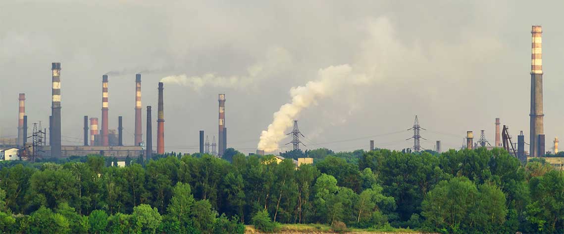
Human activities clearly have consequences for our planet. The energy we produce and consume, the manufactured products we buy and the way we dispose of our waste, at home and at work, are a major cause of pollution.
Space satellites help experts:
- identify pollution sources
- monitor and study air, water and soil quality
They can:
- gather data on carbon monoxide distribution
- detect oil spills
- locate areas contaminated by mining activities
SCISAT
What does it do?
SCISAT measures more than 60 different atmospheric gases.
What is it used for?
SCISAT is used to observe depletion of the ozone layer and to more effectively monitor developments in climate change, air quality and pollution. SCISAT data are used to develop international environmental policies to protect the ozone layer, such as the Montreal Protocol, which bans certain chlorofluorocarbons (CFCs).
MOPITT on Terra
What does it do?
The MOPITT instrument scans the Earth's atmosphere to gather data on carbon monoxide concentrations.
What is it used for?
These data are used to assess the impact of particular anti-pollution initiatives, such as vehicle emission reduction standards in some parts of the world. These data also help us understand the impact of other human activities, such as the combustion of biomass.
Protecting our ecosystems
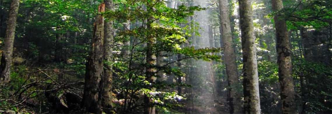
Did you know?
Forests cover almost one half of Canada's land mass.
The planet's ecosystems are essential to life and fulfill many of our basic needs. Satellites help us monitor changes affecting ecosystems and better protect them.
RADARSAT satellites
What are they used for?
The RADARSAT-2 radar is effective in monitoring forests, determining changes in forest structure and composition, observing fire-devastated areas
RADARSAT Constellation Mission (RCM) satellites transmit vitally important data to us that we can use to improve our biodiversity preservation and forest management practices. Data from these satellites shows:
- clear-cut areas in boreal and tropical forests and their environmental impacts
- the success of reforestation activities
SMOS
What does it do?
SMOS can measure soil moisture and sea surface salinity on a global scale.
What is it used for?
These measurements help us: better understand the water cycle, map snow- and ice-covered areas, monitor the overall impact of climate change on ice.
Satellites are valuable tools to study the Earth on a global scale. The data they collect are crucial to help us better manage our natural resources, our environment as well as measure pollution and reduce the impact of climate change. (Credits: Canadian Space Agency, NASA, Parks Canada)
Taking action in the event of natural disasters
Because of climate change, natural disasters, such as droughts, floods, cyclones, typhoons and hurricanes, are becoming more frequent and severe. Quite often, they threaten the safety of entire cities.
In order to better coordinate their emergency response activities during a disaster, authorities around the world often turn to satellites. The 17 member organizations, including Canada, a founding member of the International Charter "Space and Major Disasters," are working together and promptly sharing their satellite data to assist people and protect infrastructure.
RADARSAT satellites
Emergency response teams on the ground use valuable data provided by RADARSAT-2 and the RCM to make informed decisions and effectively plan their response to disasters. For example, RADARSAT satellites can help monitor hurricanes and assess the extent of flooding, thanks to their radar systems capable of scanning the Earth at all times, day or night through any weather conditions.
Our satellites at your service
- Making space datasets accessible to tackle climate change (and other) challenges
- Monitoring the impact of British Columbia wildfires from space
- Canadian satellite imagery helps measure glaciers' ice loss
- Data Compendium: 20 years of radar images
- GHGSat - a Space Technology Development Program success story (video)